


| Story Views | |
| Now: | |
| Last Hour: | |
| Last 24 Hours: | |
| Total: | |
Mega-Quakes In Himalayas Left Scars As Long As 150 Kilometers Say Scientists

This ground-breaking discovery has huge implications for the area along the front of the Himalayan Mountains, given that the region has a population density similar to that of New York City.
NTU Professor Paul Tapponnier, who is recognised as a leading scientist in the field of neotectonics, said that the existence of such devastating quakes in the past means that quakes of the same magnitude could happen again in the region in future, especially in areas which have yet to have their surface broken by a temblor.
Published recently in Nature Geosciences, a prestigious scientific journal, the study by NTU’s Earth Observatory of Singapore (EOS) and colleagues in Nepal and France showed that in 1255 and 1934, two great earthquakes ruptured the surface of the earth in the Himalayas. This runs contrary to what scientists have previously thought.
Massive earthquakes are not unknown in the Himalayas, as quakes in 1897, 1905, 1934 and 1950 all had magnitudes between 7.8 and 8.9, each causing tremendous damage. But they were previously thought not to have broken the earth’s surface – classified as blind quakes – which are much more difficult to track.
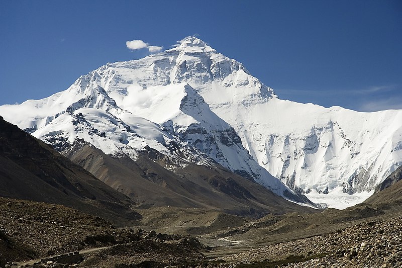
However, Prof Tapponnier said that by combining new high resolution imagery and state of the art dating techniques, they could show that the 1934 earthquake did indeed rupture the surface, breaking the ground over a length of more than 150 kilometres, essentially south of the part of the range that harbours Mt Everest.
Using radiocarbon dating of offset river sediments and collapsed hill-slope deposits, the research team managed to separate several episodes of tectonic movement on this major fault and pin the dates of the two quakes, about 7 centuries apart.
“The significance of this finding is that earthquakes of magnitude 8 to 8.5 may return at most twice per millennium on this stretch of the fault, which allows for a better assessment of the risk they pose to the surrounding communities,” said Prof Tapponnier.
Prof Tapponnier warns that the long interval between the two recently discovered earthquake ruptures does not mean people should be complacent, thinking that there is still time before the next major earthquake happens in the region.

“This does not imply that the next mega-earthquake in the Himalayas will occur many centuries from now because we still do not know enough about adjacent segments of the MFT Mega-thrust,” Prof Tapponier explains.
“But it does suggest that areas west or east of the 1934 Nepal ground rupture are now at greater risk of a major earthquake, since there are little or no records of when last earth shattering temblor happened in those two areas.”
The next step for Prof Tapponnier and his EOS scientists is to uncover the full extent of such fault ruptures, which will then allow them to build a more comprehensive model of earthquake hazard along the Himalayan front.

Credit: NASA
About the NTU’s Earth Observatory of Singapore (EOS)
EOS is a premier research institute at NTU which conducts fundamental research on earthquakes, volcanic eruptions, tsunami and climate change in and around Southeast Asia, towards safer and more sustainable societies.
Funded by the National Research Foundation’s Research Centres of Excellence programme, EOS and its field of research contributes greatly to NTU’s research strengths in Sustainability, which is one of the university’s Five Peaks of Excellence.
The Peaks of Excellence are five key areas of research which NTU hopes to make a global mark in by 2015 under its 5-year strategic plan. The other peaks include Future Healthcare, New Media, Innovation Asia, and the Best of East and West.
2012-12-28 10:00:39
Source: http://nanopatentsandinnovations.blogspot.com/2012/12/mega-quakes-in-himalayas-left-scars-as.html
Source:
