


Columbus Day Type Major Damaging Wind Storm To Strike Pacific Northwest On Saturday

On Saturday, a damaging windstorm is going to strike the Pacific Northwest, something similar to the pattern of the Columbus Day system of 1962 and residents are urged to get prepared now.
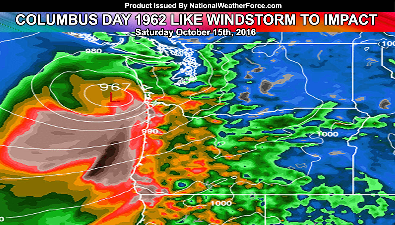
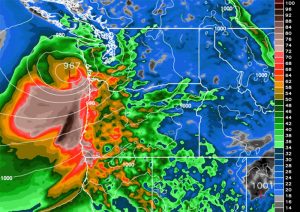
A 960mb surface low similar to a strong Hurricane is going to cross the same path as the Columbus Day storm of 1962 and bring extremely damaging winds to the populated areas of Western Oregon and Washington on Saturday.
This system will bring strong southerly winds with 74+ mph (hurricane force) into the coast of both Oregon and Washington during this period, with widespread 50-60 mph wind gusts expected all the way to Interstate 5 … making this a damaging widespread wind threat.
Gusts for select cities on Saturday, according to our model …
Seattle, WA – 60 mph+
Aberdeen, WA – 70 mph+
Portland, OR – 55 mph+
Medford, OR – 60 mph+
Eugene, OR – 50 mph+
Newport, OR – 75 mph+
When this is all said and done … the rainfall amounts will be from 5-7″ in the valley and Seattle areas … and as much as 15-20+ inches of rain along the OR and WA Coastal Range …
The wind and rain will knock power-lines and trees down. Power will be out for many days for some of you.
