

| Online: | |
| Visits: | |
| Stories: |

Third Reich Maps of the Inner Earth
Monday, September 15, 2014 0:31
% of readers think this story is Fact. Add your two cents.

We’ve all heard tales of Nazis exploring the southern extremities of the globe and even setting up bases in Neuschwabenland. Some have also heard of Operation Highjump and Admiral Byrd’s altercation with entrenched German forces that overpowered them with amazing flying craft.
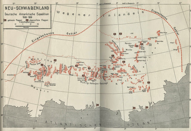
A video (below) has recently surfaced which shows a 1944 map from the Third Reich detailing not only the direct passageway used by German U-boats to access this subterranean domain, but also a complete map of both hemispheres of the inner realm of Agharta!
Source: http://www.riseearth.com/2014/09/third-reich-maps-of-inner-earth.html
