


| Story Views | |
| Now: | |
| Last Hour: | |
| Last 24 Hours: | |
| Total: | |
The Buache Map: A Controversial Map That Shows Antarctica Without Ice


The Buache Map is an 18th century map commonly claimed to accurately depict the continent of Antarctica before it was buried by ice. By extension, it has been claimed that this map is evidence that an ancient civilization had mapped Antarctica when it was free from ice, and that it was based on this source that the Buache Map was drawn. However, t ere are arguments against this interpretation of the Buache Map, and the claim that the continent of Antarctica was known to a highly advanced ancient civilization long before it was ‘re-discovered’ by modern man in the early part of the 19th century.
Philippe Buache
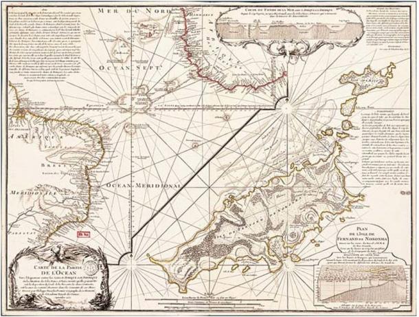
The Buache Map was drawn by a French geographer by the name of Philippe Buache de la Neuville, hence its name. The full title of this map (in French), however, is “Carte des Terres Australes comprises entre le Tropique du Capricorne et le Pôle Antarctique où se voyent les nouvelles découvertes faites en 1739 au Sud du Cap de Bonne Esperance ”, which translates into English as “Map of the Southern Lands contained between the Tropic of Capricorn and the Antarctic Pole, where the new discoveries made in 1739 to the south of the Cape of Good Hope may be seen”. Although the Buache Map is often said to have been published in 1737, the date of publication on the map itself is given to be September 3, 1739.
www.Ancient-Origins.net – Reconstructing the story of humanity’s past
Source: http://www.ancient-origins.net/artifacts-other-artifacts/buache-map-controversial-map-shows-antarctica-without-ice-005647
